
Nagtibba Trek
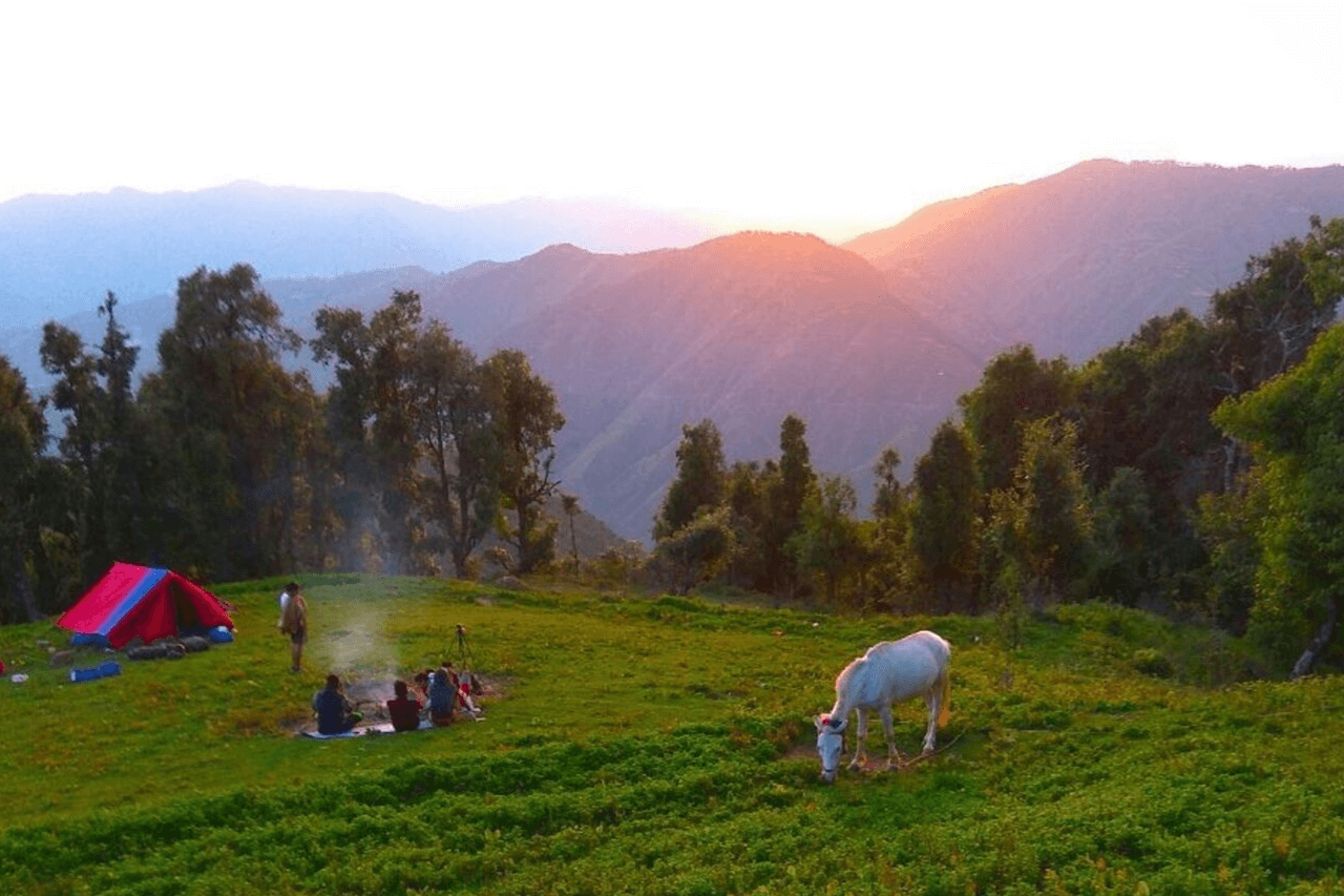
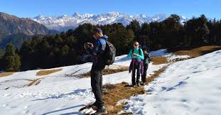
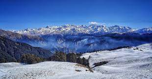
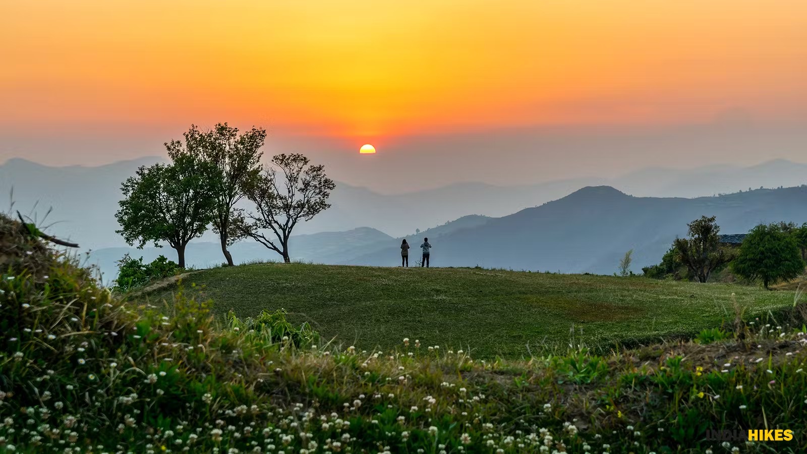
The most beautifully landscaped meadow in our country
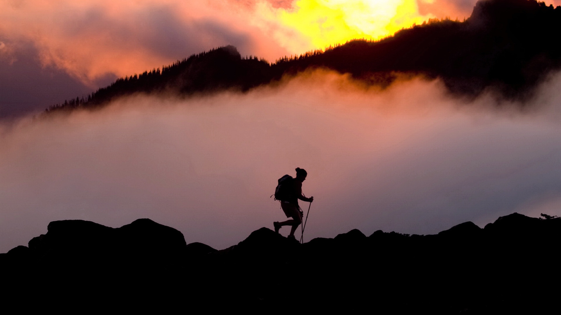
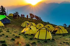
Nagtibba Trekking Initiate with extensive respect for the environment. Our property gives you serenity and tranquillity with a blanket of luxury ,comfort and privacy.Nagtibba trekking most complete and comprehensive outdoor adventure company, offering a wide range of carefully curated experiences that take you into the heart of nature.
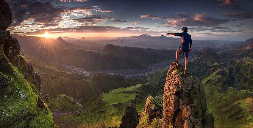
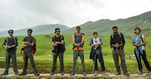
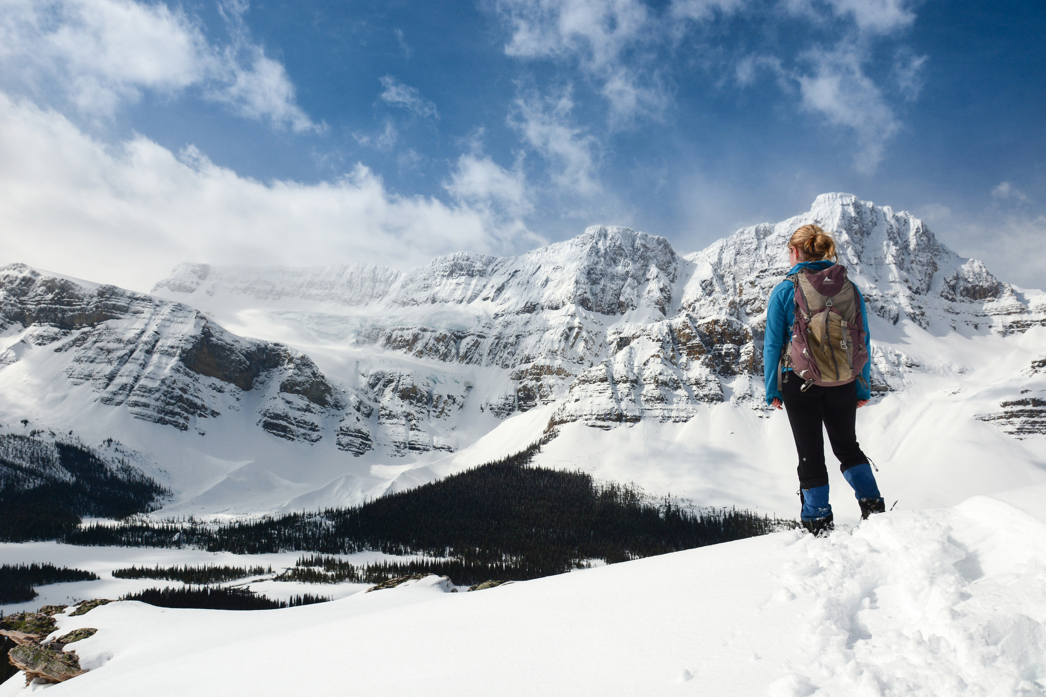
We specialize in handling both small and large groups for day hikes and overnight treks in the vicinity of Mussoorie and Nag Tibba Range. Our network of contacts extends throughout Garhwal with partners in the Har-ki-Dun Valley and Dodital Region, as well as Gangotri and beyond.
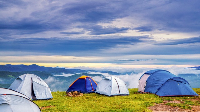
Started in 2017, we also offer a wide range of camping and trekking equipment for sale and hire.
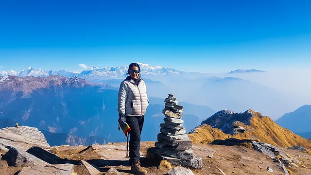
Nag Tibba, 3,022 metres, is the highest peak in the lesser himalayan region of Uttarakhand state and a region of Bugyals .It lends its name to the ‘Nag Tibba Range’, itself the next-northerly of the five folds of the Himalaya.
Nag Tibba (“Serpent’s Peak”), at an elevation of 3,022 metres (9,915 ft), is the highest peak in the Lesser Himalayan region of the Garhwal Division of Uttarakhand state in India and of the Bugyals region. It lends its name to the Nag Tibba Range, itself the next-northerly of the five folds of the Himalayas. It is situated 16 km (9.9 mi) away from Landour cantonment, 57 kilometres (35 mi) from Mussoorie and 148 kilometres (92 mi) from New Tehri in the Tehri Garhwal district of Uttarakhand. The Nag Tibba Range is one of the three principal ranges of the Lesser Himalayas, along with the Dhauladhar and the Pir Panjal, which branch off from the Great Himalayas.
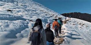
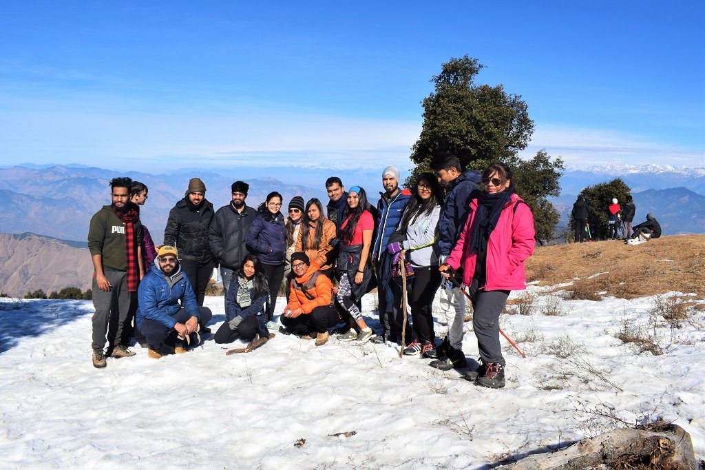
The mountain is believed to be the abode of Nag Devta or God of Snakes, from which it borrows the first part of its name; “Tibba” is a local word for hill or peak. Together, “Nag Tibba” means the place or abode of the Snake God. It has a temple on the top, from which one can see the entire Bandarpoonch ranges of the Great Indian Himalayas towards the Yumnotri side. Local villagers come here to offer their prayers to Nag Devta for the protection of their cattle. This place is at an elevation of 3048 meters.
Bandarpunch (lit. Hindi: Monkey’s tail) is a mountain massif in the Garhwal Himalaya in Uttarakhand, India. The massif has 3 peaks: White Peak (6102 m), also called Banderpunch II, to the west above Yamunotri; almost 5 km east is Bandarpunch main peak or Banderpunch I (6316 m); and about 4 km to the north-east is Kalanag (6387 m).
In 1937, a team of Doon School masters who were keen alpinists, J.T.M Gibson and John Martyn along with sherpa Tenzing Norgay reached the summit ridge for the first time.In 1946, another Doon expedition made a summit attempt, this time including, in addition to the original members, schoolmaster R. L. Holdsworth and a pupil, Nandu Jayal, Major Chengappa Nanda and Jonh Munro (Norgay would later label Bandarpunch “The Doon School mountain” owing to the affinity shared by the schoolmasters and pupils for the mountain, which was the most prominent Himalayan peak visible from Mussoorie).The attempt was made from the south, after crossing the Darwa Pass, but was unsuccessful due to poor weather.
Major General Harold Williams led the first successful climbing expedition in 1950.The first team to summit Bandarpoonch Peak comprised legendary mountaineer Tenzing Norgay, Sergeant Roy Greenwood and Sherpa Kin Chok Tshering.